My first remembered encounter with maps was a full-page colored map of the Philippines, a clipping from the defunct Sunday Times Magazine that was pasted by my mother on her big scrapbook.
The crazy thing about this particular map, which hooked me into a lifelong obsession, was that each island was drawn like a familiar object which even a child of six (which I was back then) could recognize. Negros was drawn like a man’s sock. Panay was a bat or flying fox. Palawan was a kris sword. Samar was a walrus. Leyte was a dog running after a ball that was Biliran island. And Luzon? It was a chimera of a squirrel with a thin horse-like head (the Caramoan peninsula) with four limbs (tha Sorsogon and Bondoc peninsulas), with Bicol as its main body, and an immense bushy tail that was the rest of Luzon.
It was that particular map that inspired me to imagine each province (and each major island) of the Philippines as the shape of some familiar object — Benguet, for example, was a potato, and Kalinga-Apayao was the Marcos bust, with Abra as a very huge goiter on his neck — and thus memorize the whole layout of the country sufficiently to draw it from memory.
And in elementary school, that was the talent I was most proud about — a talent that stuck with me all through these years.
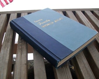
My interests soon expanded to the wider arena of global geography, when the family acquired this Sears family world atlas in the mid-1960s:
From then on, I became an obsessive collector of maps — of the Philippines (1:250,000 and even 1:5,000 scales), of global regions, of historical places, and so on — a real hopeless case. I bought books on physical and cultural geography and cartography, and compiled my own digital Philippine map from Arcview source files because I felt that Encarta sucked in this respect (this was in 1996, long before Google Maps).
Of course, now in the era of Google Earth and Street View, I need to hold back this obsession. Otherwise, I would consume most of my waking hours exploring the vast spaces and complex terrains of the Earth’s digitized surface.
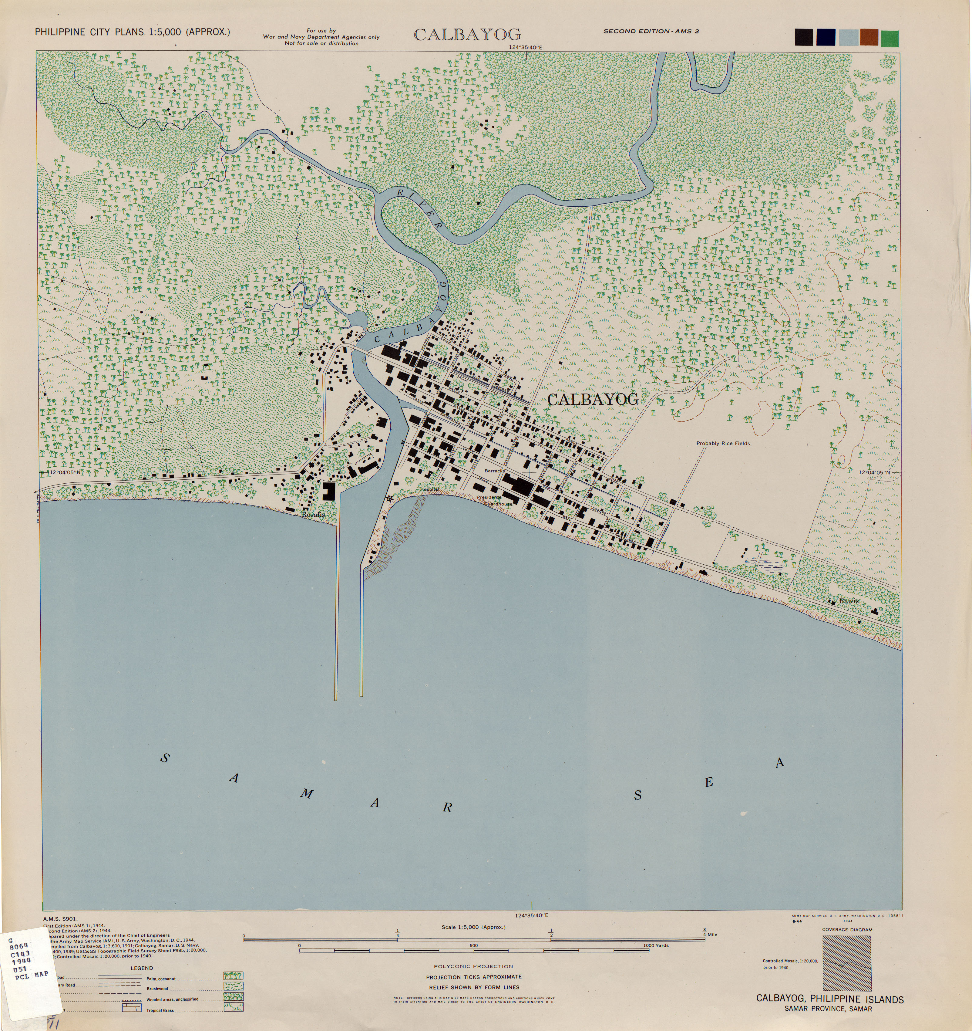
I have a growing bookmarks collection of websites that traffick in ?e Olde Maps. Sample: did you know that the US Army prepared a very detailed set of Philippine maps in 1944? The digitized maps are available for download at the Army Map Service archives at the University of Texas Libraries.
So what can I say? I’m crazy about maps. That’s all there is to it. Enough said.